We’re a loose group of amateurs who either run the Sentinel system. or a radio detection system or both.
We communicate via emails when we see a bright fireball and did a quick poll that way.
We’d write “Did you see it at ##:## UT on sic and such date?”. Then wait for the other stations to say yes or no. We are not an organization, a club, or society.
We are a loose confederation/network of cameras operators and radio operators.
Bill and Glen started the educational outreach project on their own and that’s when Jeff decided to throw a web together, to assist them by providing an example of what school boards could do for their teachers and kids. I think this is a very worthy project and would like the website to be part of our ‘mission’.
When Sandia Labs changed to the latest system, WSentinel, they added the capability to rsync our captures to NMSU for display.
Some of our members do not participate with the NMSU side of it or they stayed with their old frame grabber system so they can not send data to NMSU.
Hopefully Bill Cooke will let us start sending data to the fireball site but so far we after Ed and I asked to join the asgard network.
Right now Ed and my asgard data are stacking up in isolation on our hard drives.
Once Ed and I through the vetting process we will be sending data directly to the nasa fireball web site.
At that time we’re going to try and get the other camera operators to join us with asgard so we can produce meaningful data for NASA and IMO and AMS.
We have just gone operational with ASGARD. We plan to stream our captures to our site but that’s down the road.
Three comets expected this year, two dim and one bright
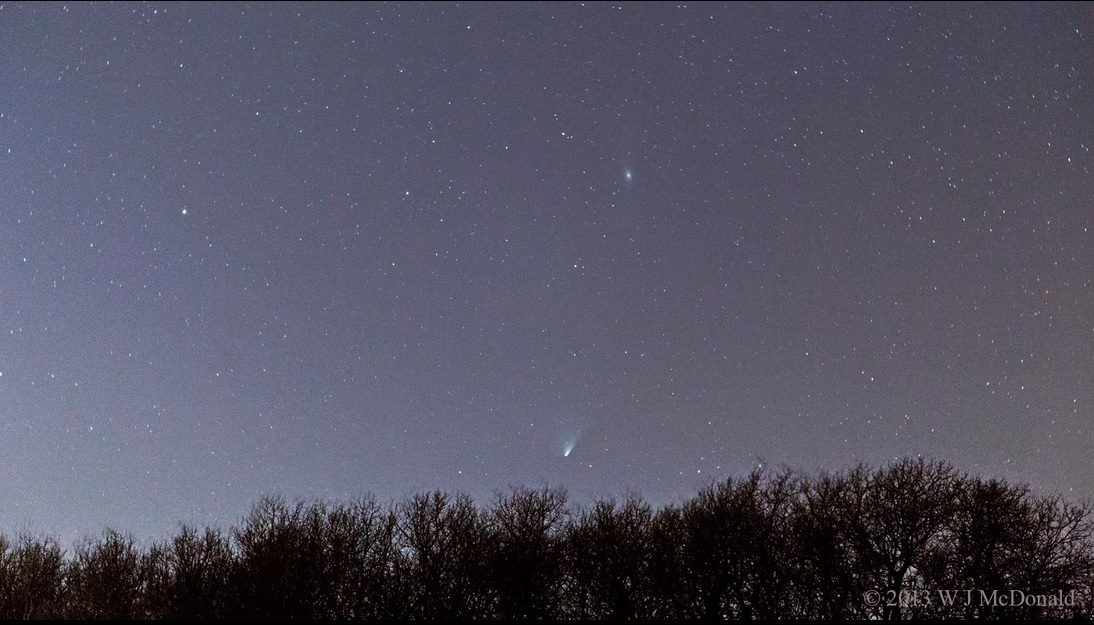
Comet Pan-STARRS (C/2011 L4): visible March 5 until April 2013: this Comet will pass within one AU from the Earth as it proceeds onward to dip inside the orbit of Mercury. It is dim but visible with the unaided eye.
From Earth, the comet will appear close to the Sun, and it will only be observable briefly on the north-western horizon just after sunset, close to the crescent Moon on March 13. It’s only viewable for about 20 minutes, from about 8:15 until 8:40pm Mountain Daylight Time. The sky is too bright after sunset so you have to wait until about 8:15 when the sky darkens, but if there are mountains on the horizon, it will set below them within 15 or 20 minutes. It’s on the Northwest horizon, above Pegasus. It’s difficult to see at first, binoculars help a lot. It’s slowly moving North, by April 1 it will move closer to the Andromeda Galaxy.
Comet Pan-STARRS was discovered by the 1.8 meter telescope at the Panoramic Survey Telescope and Rapid Response System atop the Haleakala volcano in Hawaii, and named “Pan-STARRS” in it’s honour. It’s in a hyperbolic path, for orbital elements see JPL C/2011 L4
Comet Lemmon (C/2012 F6) already visible as a green blob in the Southern hemisphere, will be visible in the Northern hemisphere by April 2013 as it recedes back into the outer solar system on its 11,000-year orbit. Rather dim, it requires a telescope or binoculars to observe it. For orbital elements see JPL C/2012 F6
On November 2013: Comet ISON (C/2012 S1) could shine as brightly as a full Moon in broad daylight when it passes through the atmosphere of the sun. Although the comet is now only passing Jupiter’s orbit, more than 4.9 AU (763 million kilometers) from the sun, it already has a tail 64,400 km long. See JPL C/2012 S1
ISON was discovered on 21 Sept. 2012, by two Russian astronomers using the International Scientific Optical Network’s 16-inch telescope near Kislovodsk. And therefore named Comet ISON.
On 15 Feb 2013, Asteroid 2012 DA14, a 150-ft diameter stone skimmed by the Earth, passing inside the ring of geosynchronous satellites, 27,700 km above the Earth’s surface, before zipping back out into space at 7.8 km/s.
Located in the East Kootenays in the South-eastern corner of BC, along the Rocky Mountain Trench. We recently placed an AllSky camera on the roof of our Cranbrook main campus.
In the Science department we offer University Transfer 1st and 2nd year courses, as well as Grade 11 and 12. Astronomy, Biology, Chemistry, Geology, Geography, Physics, Mathematics and Computer Science.
Our Astronomy 100 course boasts a Celestron CPC1100 11 inch Schmidt-Cassegrain, a 10″ Meade LX200, a 13″ Dobsonian and a number of smaller 4.5″ Newtonians. We do constellation (and meteor) photography with Nikon D100 digital cameras.
COTR Observation Station: Some Calibration and Technical Info:
The College of the Rockies Astronomy department has a Sentinel IV AllSky Meteor camera running under WSentinel video capture software ver 1.1.11. The College is located at Cranbrook BC, in the SouthEastern corner of BC. Our Camera coordinates are N49° 31′ 03.1″, W115° 44′ 37.1″, at an elevation of 940.0m (within 10cm).
The Sample Photo shows what our black and white rooftop camera sees, the lights of Cranbrook to the West, along the bottom of the photo. There are some red beacons flashing on the surrounding mountains, the one at 12 o’clock position marks roughly North (about 3 degrees True). The double-beacon at the 1:30 position marks a TV/Cell Tower at 309 degrees. The fisheye lens can view all around the horizon. The twin pine trees at the 7 o’clock position are in the College’s South parking lot. There’s a exhaust vent that shades the camera from some bright lights over to the East. Although the housing has been leveled to within 0.3 deg, the camera is tilted 5 degrees inside, and results in an elliptical rather than a circular horizon. The ratio of major to minor axes is 1.10.
Top View of StarLight B/W CCD Camera, Dome OffWe use a Starlight B/W CCD, a HiCam HB-710E [http://www.hicam.co.kr/main/710.htm] ultra-low light-level (0.0003 lumens) video camera (with 1/2” CCD sensor, 768×494 effective pixels), with the Rainbow L163VDC4P fisheye lens (1.6~3.4mm F1.4 – with mechanical auto-iris). Video is fed to an ATI All-in-Wonder video capture card on a Windows XP computer at 640×480 pixels, 29.97 frames/second. There’s about 18 hot pixels in the CCD sensor, so those are not all stars shown in the photo. Available is a photo of the inside of the lenscap revealing the hotpixels. This is normally used when you’re “stacking” the video frames and want to subtract out the hotpixels and background levels. Hot Pixels in the Sony CCD sensor PNG file.
Photo Reference Points: in the photo there is a flashing dot at the 12 o’clock position that marks 3 degrees true. In the photo, note the top of Woodteck Hill has a rotating beacon. This hilltop is located at N 49°34’18”; W115°44’22”; at elevation of 3,421′(1,043m). From the college, this would be 6.0 km away at a bearing of 2.9 degrees, altitude 1.0 degrees up from the horizon. Radio Beacon North of Camera
Cassiopeia and Beacon at 3 degrees North Photo was taken at 18 May 2011 at 23:30:52 Mountain Daylight Time. Starmap generated by Meade Autostar Suite Astronomers Ed ver 3.19 2005
Photo and Starmap mergedAuriga Starmap Superimposed on Beacon PhotographThe pair of tower beacons at the 5 o’clock position, their centre point bearing 309°, are located 5.25 km distant at an elevation of 4,000 feet. The television tower is marked at 100 feet tall. Thus a total of about 4,100 feet (1,250m) at an angle of 3.0 degrees up from the horizon. Found on an older topographical map, 82G/12 dated 1980, 1:50,000 Scale, at N49°32’47”, W115°48’00”. The newer topographical maps don’t show the towers. The photo was taken 18May2011 at 23:35:50 MDT, and superimposed on a Autostar Suite 3.19 starmap adjusted to show the horizon at that time and location. At that time, the star Elnath in Auriga is located at (alt +3.0 °, az 312.8 °) The beacons are the same altitude as Elnath, at +3.0 degrees. No correction has been made for atmospheric refraction.
Time is synchronized to a College Network time server (since the end of August) and stays within 0.1 second of world time. Previous to that, it was slow by up to a minute.
Our AllSky camera was supplied by Richard Spalding of Sandia National Labs, in New Mexica, USA. Dick Spalding’s all-sky-all-the-time camera development is described at http://www.sandia.gov/LabNews/LN11-29-02/labnews11-29-02.pdf.
For more info, contact Rick Nowell at nowell@cotr.bc.ca
Located on Highway 97 in the British Columbia Cariboo-Chilcotin area, Mile 108 Elementary School is the site of the second AllSky camera located in School District #27 (Cariboo-Chilcotin). This camera will provide overlapping coverage with cameras in Prince George, Tatla Lake, Kelowna, Penticton, and Osoyoos, thereby increasing the likelihood of a multiple site common capture.
Mile 108 Observatory is located at the Mile 108 Elementary School on Highway 97, southwest of the 108 Resort airstrip.
The Mile 108 AllSky camera system is installed on the roof of the school. The following image is the latest capture. North is up, West is to the right.


