

The College of the Rockies Astronomy department has a Sentinel IV AllSky Meteor camera running under WSentinel video capture software ver 1.1.11. The College is located at Cranbrook BC, in the SouthEastern corner of BC. Our Camera coordinates are N49° 31′ 03.1″, W115° 44′ 37.1″, at an elevation of 940.0m (within 10cm).
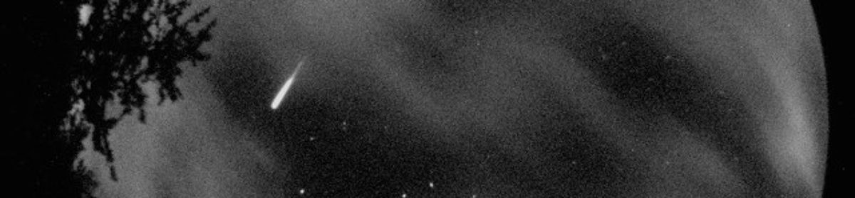
The Sample Photo shows what our black and white rooftop camera sees, the lights of Cranbrook to the West, along the bottom of the photo. There are some red beacons flashing on the surrounding mountains, the one at 12 o’clock position marks roughly North (about 3 degrees True). The double-beacon at the 1:30 position marks a TV/Cell Tower at 309 degrees. The fisheye lens can view all around the horizon. The twin pine trees at the 7 o’clock position are in the College’s South parking lot. There’s a exhaust vent that shades the camera from some bright lights over to the East. Although the housing has been leveled to within 0.3 deg, the camera is tilted 5 degrees inside, and results in an elliptical rather than a circular horizon. The ratio of major to minor axes is 1.10.

Photo Reference Points: in the photo there is a flashing dot at the 12 o’clock position that marks 3 degrees true. In the photo, note the top of Woodteck Hill has a rotating beacon. This hilltop is located at N 49°34’18”; W115°44’22”; at elevation of 3,421′(1,043m). From the college, this would be 6.0 km away at a bearing of 2.9 degrees, altitude 1.0 degrees up from the horizon. 


Time is synchronized to a College Network time server (since the end of August) and stays within 0.1 second of world time. Previous to that, it was slow by up to a minute.
Our AllSky camera was supplied by Richard Spalding of Sandia National Labs, in New Mexica, USA. Dick Spalding’s all-sky-all-the-time camera development is described at http://www.sandia.gov/LabNews/LN11-29-02/labnews11-29-02.pdf.
For more info, contact Rick Nowell at nowell@cotr.bc.ca